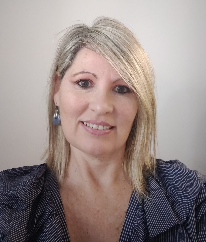
Montserrat Monteagudo is, since 2006, the head of the Cartography Section of the AMB. Her professional career, with more than 23 years of experience, is closely linked to municipal cartographic management. For 10 years (1996-2006) she was in charge of the cartographic department of the City Council of Sant Cugat del Vallès and directed the implementation of the municipal geodetic infrastructure, as well as the development of a municipal cartographic base, at 500 and 1000 scale. He also implemented the methodology that allowed the cartographic update through the use of internal information flows (building permits, as-builts, etc). It is currently leading the “Metropolitan Topographic Map of 1000 scale, 3D” project, which provides continuous and homogeneous cartography for the 36 municipalities that make up the metropolitan territory. In addition to promoting active policies for the dissemination of geographic information available in the AMB, such as the Cartography Geoportal through which different sets of basic cartographic information (topographic cartography, historical flights, digital models, 3D models of the territory, land use maps, etc.) can be consulted and downloaded in their current and historical versions. With a clearly innovative component, the cartography section is committed to the use of new technologies applied to the development of quality cartographic products (applications with Artificial Intelligence, Mobile Mapping, Virtual Reality, 3D UAV printing, …). It actively participates, on behalf of the AMB, in various commissions aimed at improving the quality of geographic data and interoperability between them. In this sense, it is worth mentioning his participation in the Cartographic Coordination Commission of Catalonia, as well as in different technical commissions and working groups that depend on it. In addition, he collaborates as a teacher in masters and postgraduate courses with the aim of training professionals to know the availability of the different precision cartographic bases as well as the new methodologies used in the field of geomatics that allow the observation of the territory and its mapping.


